The developers of the Wills Gill site in Guiseley, have carried out an archaeological assessment which has revealed evidence of an Iron Age or Romano-British settlement on the land around 500ft. This is important evidence in understanding the evolution of Guiseley before the Norman Conquest.
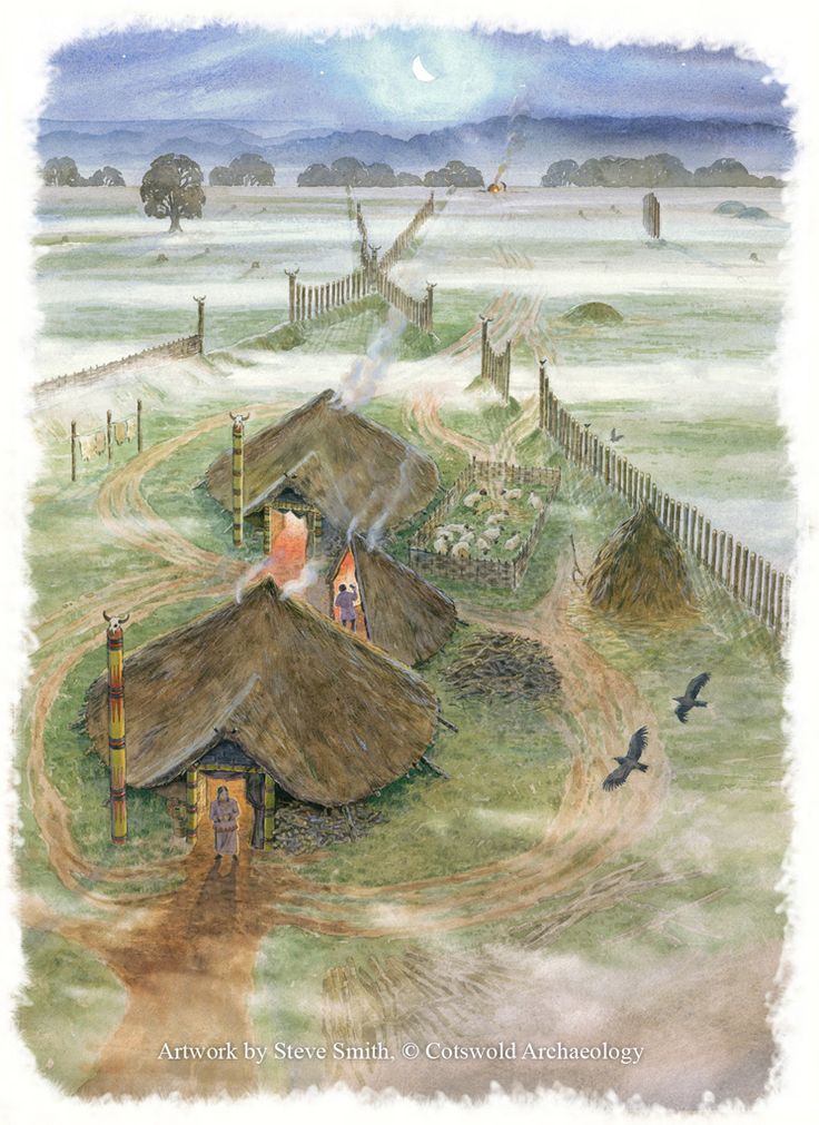
In the Iron Age the local landscape would have been organized into enclosures, and field systems with connecting trackways – the local British tribe was the Brigantes. During, the early Roman conquest the Brigantes queen Cartimandua made an alliance with the Romans. Only after that alliance collapsed in 68 AD did the Romans finally move military force into the North. (Stanwick Camp in North Yorkshire north of Richmond is through to be the fortified stronghold of Queen Cartimandua and later her husband Venutius who was defeated by Roman troops from York in 74 AD.)

In the Roman Period our area was just south of Roman Road 72b which crossed the Chevin on an east/west line from Tadcaster to Lancashire via Ilkley. The Romans were primarily interested in resources in the North, lead, stone, slaves, and cereal crops on the flat lands of east Yorkshire to feed the troops in northern Europe. Everyday life for the Brigantes continued in a similar way to before and sherds of Iron Age pottery have been found on the Wills Gill site in the curvilinear ditches of structures, together with evidence of charcoal burning of plant species that you can still find across the Chevin slope eg hazel, oak and holly.

After the Roman’s left Britain around 410 AD our area became part of the Forest of Elmet. The next two hundred years are not well understood although there was a line of British Kings of Elmet with names such as, Arthus ap Masgwid* and strong ties to Gwynedd^. It is likely that the Forest regenerated to some extent as a defence on the northern boundary of the Kingdom of Elmet which was the River Wharfe.
Around 617 AD the area was finally conquered by the Angles and became part of the Kingdom of Northumbria. Then in 660 AD the Northumbrian King Aelfwine gave Saint Wilfred, Archbishop of York and Ripon, lands in Ingaedyne (the Yeadon area)+. Wilfred set up a Minster at Otley on this land and replanned the local economy with satellite villages or vills around it; each with a specific economic purpose eg lambs, honey, cattle, cereals.

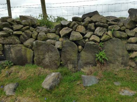
It is thus likely that it was in the early 8th century that the vill of Guiseley was so named. A ley was an area of wood pasture on the edge of a forest, and research has shown the Anglo Saxons named ancient areas of occupation leys. Guiseley’s role in the local economy was likely a vaccary – or cattle farm. The names of fields, landscape, and stone walls show evidence of this. In the archaeology report a tiny sherd of what could be pre Norman Conquest Anglo-Saxon unglazed sandy ware pottery was found, along with other medieval pottery shards. It is therefore likely that the Wills Gill site was part of the medieval vaccary, and planned field system.
We are discussing the findings with West Yorkshire Archaeology who have been keen to understand the evolution of the medieval township of Guiseley with its tofts and crofts. There is a shortage of research on this period in West Yorkshire.

This is the second iron age/Romano-British site in Guiseley – there is another suspected in a field near Kelcliffe.
The Archaeology report is on the Leeds Planning Portal for Wills Gill here.
NOTES
* After 500 AD many British tribal kings were called Arthur, lending weight to the existence of an overlord King Arthur who held back the tide of an Anglo Saxon ‘takeover’ of the British Isles at the Battle of Badon around the turn of the 5th/6th century (490 – 520 AD).
^ Gwynedd was a leading British Kingdom at the time and had allies throughout what is now Wales, Northern England and the Scottish Lowlands. Kings of Gwynedd, helped stave off invaders and supported the establishment of Christian churches – Christianity had been the Roman religion in all its territories since the early 4th century
+ When Wilfred dedicated Ripon Cathedral in 660 AD he read out a list of the lands that had been given to the Church including Ingaedyne and said they were “the consecrated places in various parts which the British clergy had deserted when fleeing from the hostile sword wielded by the warriors of our nation” (Life of St Wilfred – Eddius Stephanus 709).

You must be logged in to post a comment.