UPDATE – As of 7 January the walk has raised just over £1,000
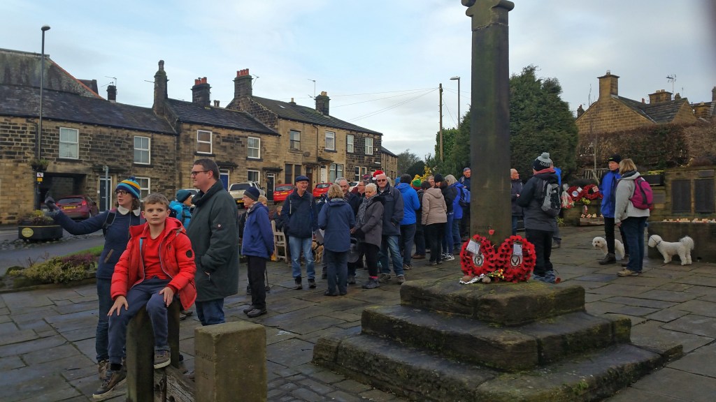
Forty people set out on a fine walking day on Saturday 28th December to do the Green Belt Challenge Sponsored Walk: the aim was to raise funds for the Judicial Review in February. Photographer Darren Sanderson, took us for a 5 mile walk around 3 of the 4 Green Belt sites whose release for development local residents are challenging.
Both Darren and ANDF Chair, Jennifer Kirkby, pointed out the key features of each site, whilst Jennifer also gave some information on local history and geology as the walk progressed.
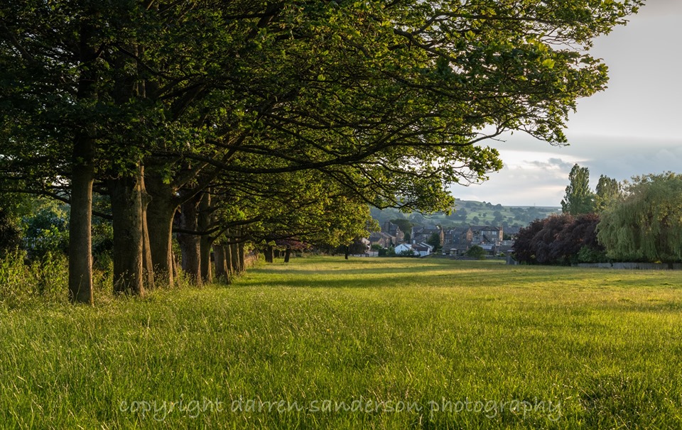
Starting off on the medieval fields at Wills Gill, the walk then went to Parkinson’s Park via Kelcliffe Lane – the Park has early medieval landscape features and excellent views of the Guiseley Gap. (Walk leaflets for the Guiseley Gap are available here or in Guiseley or Otley Library or email us if you cannot find one aireboroughnp@gmail.com). An information leaflet on Parkinson’s Park is here.
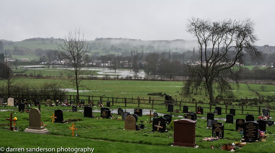
The walk then continued along an old track that used to lead to Guiseley Common, through Bracken End Farm and down to Guiseley Cemetery, founded in the early 1920’s when a local farmer sold a field to Guiseley Urban Council – many of the earlier memorials are from the First World War. The Cemetery has excellent views over the Ings site to Mire Beck – and we could see the water lying in pools on the fields.

Then, down Ings Lane, and through Ings Farm where we really hit the mud, and appreciated what the word Ings means (wet pasture). At one point the only place to walk was along a fence rail conditions were that bad.
A stop for some at the Wetherby Whaler cafe/fish and chip shop, was followed by a trek over the ancient engineering of Tranmire Beck and up Thorpe Lane. This is the way many an early 20th century Leeds tripper would have got on to Rombalds Moor for a ramble after catching the Tram to White Cross.

The pull to the top of the Odder was steep, and it was a pleasure to then walk downhill towards Lane Side Farm on Hawksworth Lane. After the mud of the earlier paths, it was decided not to take the footpath towards the Hawkstone Woods on Hollins Hill, but rather go down to the traffic lights and then walk along the road to Hollins Hill Farm. (The traffic lights at the top of Park Road are not the easiest to cross with pedestrian buttons only on one side of the road.)
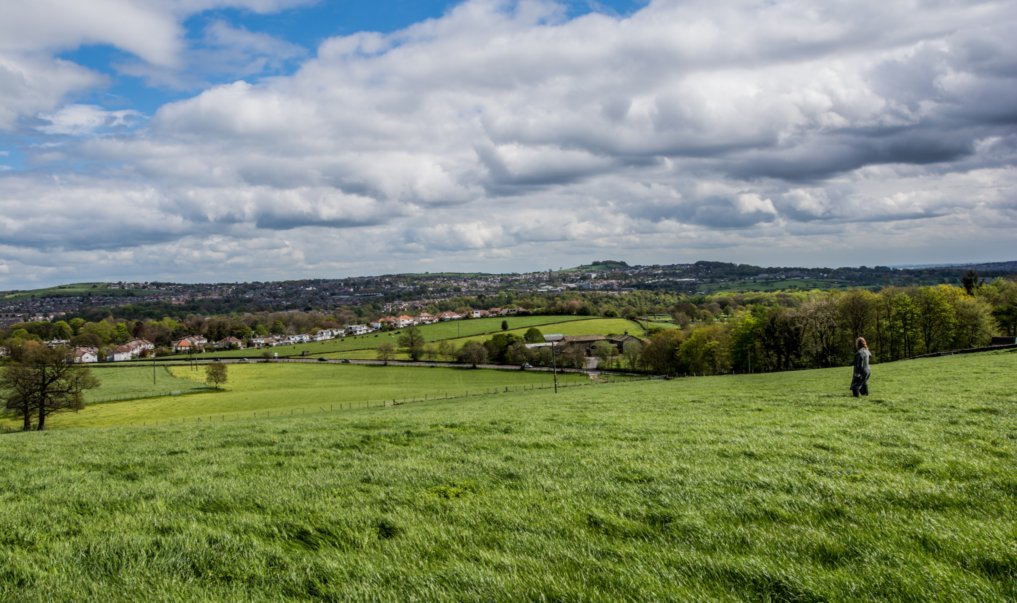
Turning left through Hollins Hill farm yard, the footpath affords fantastic views across the Aire Valley, not somewhere a number of people had walked before. You get an appreciation of the height of Aireborough above the Aire itself. It was also clear that the Hollins Hill site is on the crown of the hill – as so many have said.

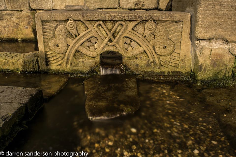
It was then all downhill past Park Gate to Morrisons, and a skirt through the car park and up Springfield Road, past Guiseley Wells, took as back to Town Gate. Along the last leg people peeled off to walk home, and four of us made it back to the starting point. 🙂
A big thank you to everyone who took part, hopefully it gave a better understanding of the place we live as well as raised some money for our attempt to conserve our valued landscape. Darren will be running another event in the New Year.
If there is any sponsor money still to collect you can put personal donations through Local Giving here
Or send a cheque (payable to the Aireborough Neighbourhood Development Forum) or drop any monies off to The Treasurer, 2 The Sycamores, Guiseley, LS20 9EN.

You must be logged in to post a comment.